Estate La Colina
Hohokam
Site of Los Muertos Hohokam Historical Site
In 1887 an archaeological expedition from Harvard University excavated the ruins of a Hohokam village about 6 ½ miles south of Tempe. The expedition was led to this ruin by James C. Goodwin, a nearby resident. The Hemenway Expedition examined a total of 25 separate structures laid out in an arc running from southwest to northeast near McClintock & Warner Roads. The expedition named the site Los Muertos ,”The City of the Dead”, for the abundant human burials that were found and cataloged. In 1945 the field notes of this expedition were published by Emil W. Haury as, “The Excavation of Los Muertos and Neighboring Ruins in the Salt River Valley, Southern Arizona.”
Los Muertos was a classic Hohokam village dominated by a platform mound. The outline of the platform mound was 200’ by 320’ bounded on all four sides by a massive adobe wall 7’ thick.
David Doyel estimates that each of the major Phoenix Basin irrigation communities, including Los Muertos, supported 6,000 to 10,000 people and cultivated up to 14,000 acres of fields. The Hohokam grew mostly corn, beans and squash.
Los Muertos was flanked on both sides by several canals. According to Haury, the aggregate length of all the Los Muertos canals was over 75 miles. The main canal that passed through the settlement measured 30 feet in width and 7 feet deep.
Doyel, David E. (2008). Irrigation, Production, and Power in Phoenix Basin Hohokam Society. In Suzanne K. Fish & Paul R. Fish (Eds.), The Hohokam Millennium. (pp. 82-89). Sante Fe: School for Advanced Research Press.
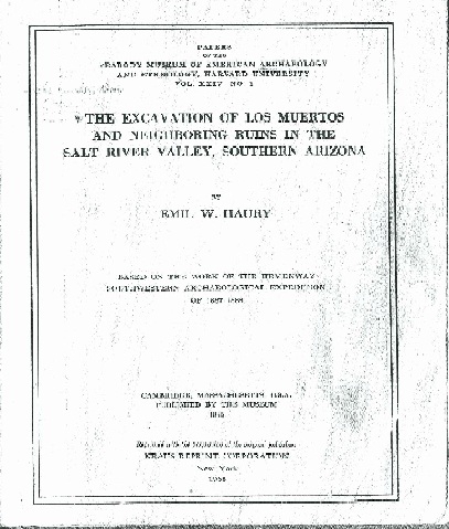
Haury, Emil W. (1943). The Excavation of Los Muertos and Neighboring Ruins in the Salt River Valley, Southern Arizona. Based on the work of the Hemenway Southwestern Archaeological Expedition of 1887-1888. Papers of the Peabody Museum of American Archaeology and Ethnology, Harvard University, Vol. XXIV – No. 1.
Posted
by danielewicz on 10/25/2011
Last updated on 12/02/2011
Last updated on 12/02/2011

- Advertise Here!
-
Promote Your Business or Product for $10/mo

For just $10/mo you can promote your business or product directly to nearby residents. Buy 12 months and save 50%!
